Pages

Slider

Thursday, October 9, 2014

Fall Foliage Weekend 2012 Day#2 The Pumpkin People

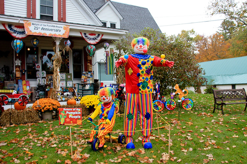
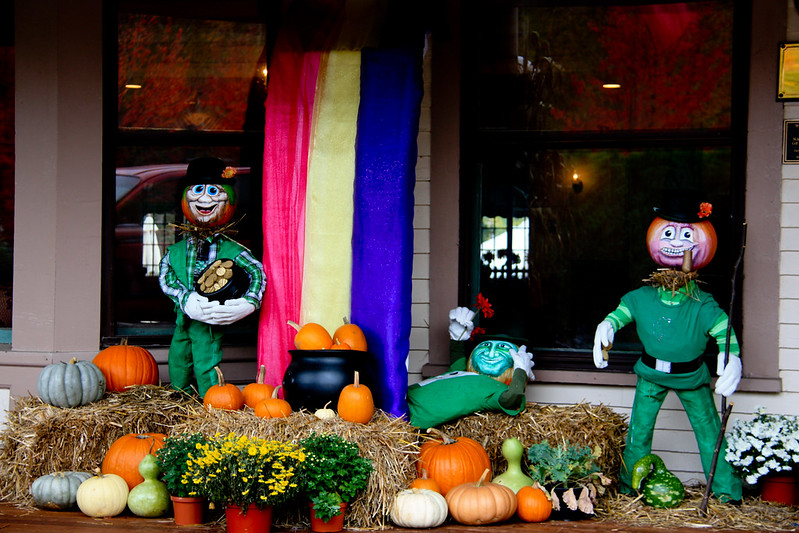
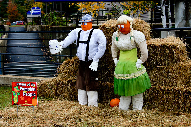
On our second day of our foliage trip (read about day #1 here), we had to check out of our room at Nordic Village by 11am.  It was foggy and seemed like it might rain so we decided to look for the Pumpkin People. Residents and businesses in Jackson New Hampshire (and neighboring towns in the Mount Washington Valley)  make displays out of pumpkins. Some of them are very impressive!

 That year, 2012,  it was the 25th anniversary of the Pumpkin People.  There were tons of locations, far too many Pumpkin People Displays to post them all. I will just post some of my favorites here.

We stopped at several businesses in Jackson to get photos of Pumpkin People. It's like a scavenger hunt and we tried to get them all!

The display at Flossies General Store

IMG_9968

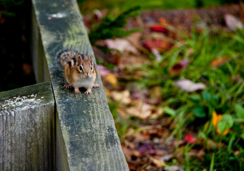
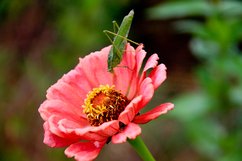
I also found this grasshopper willing to model for me on a flower...

IMG_9963

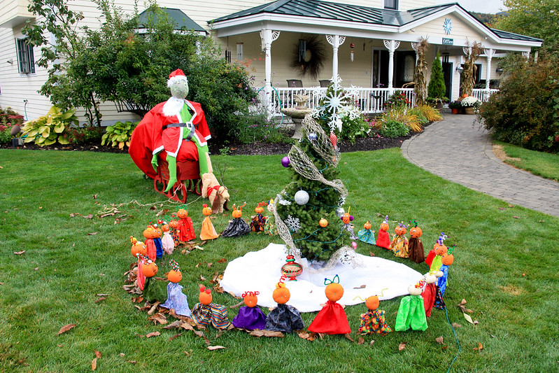
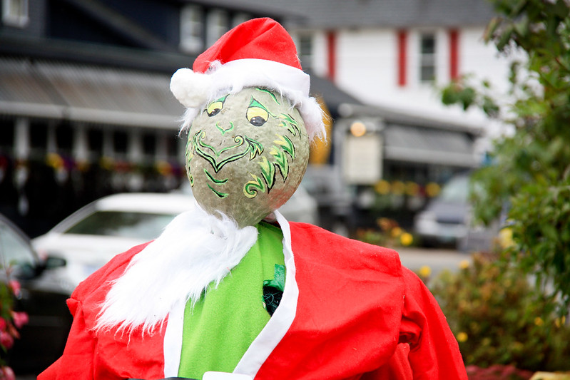
The Snowflake Inn had a pretty cool display of The Grinch Who Stole Christmas

The Grinch Who stole Christmas

The Grinch


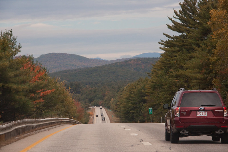
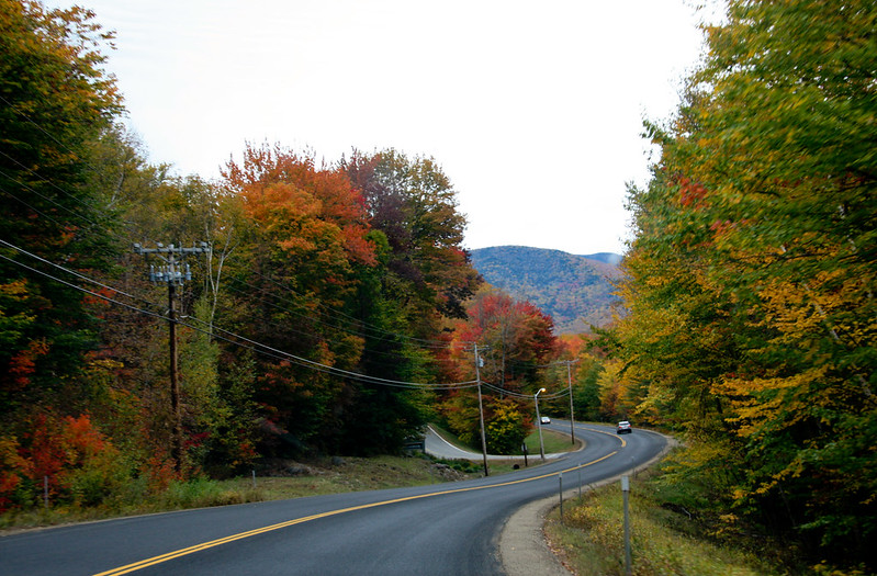
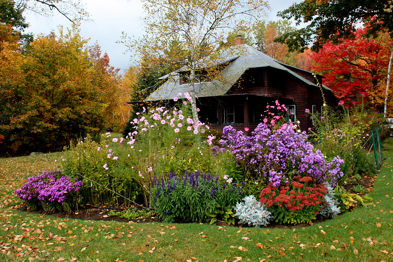
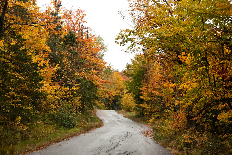
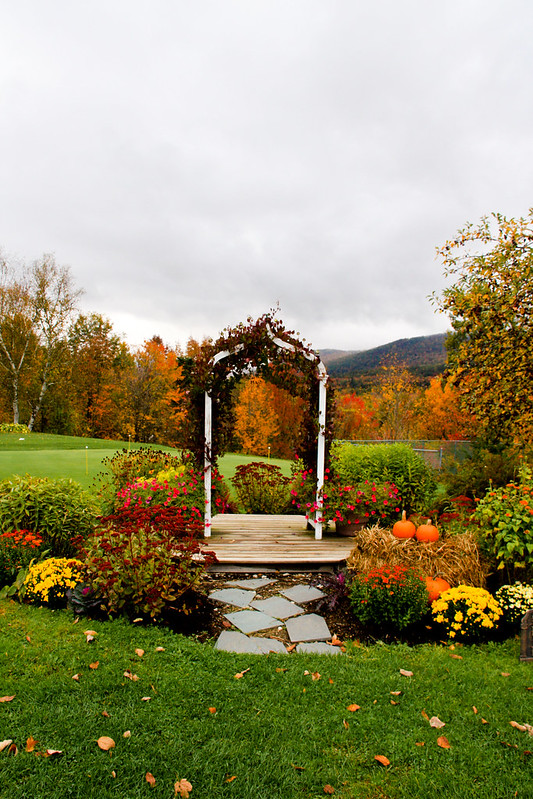
This is what a typical street in Jackson looks like.

IMG_9991

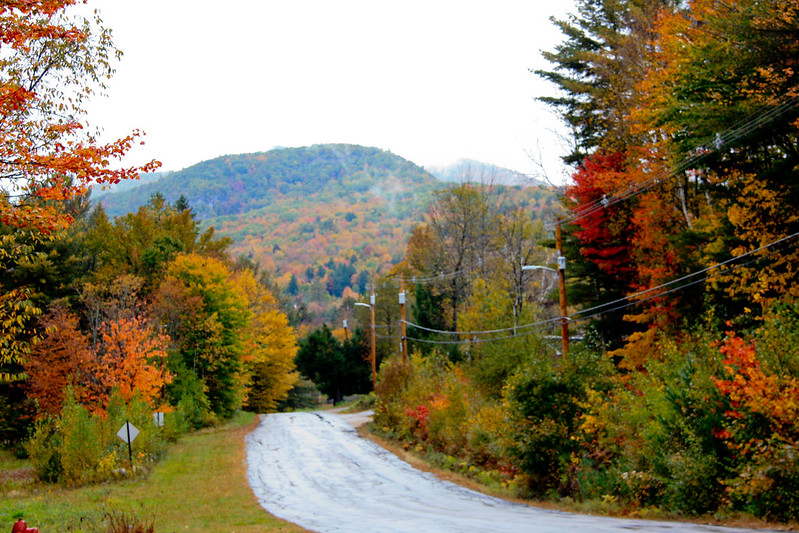
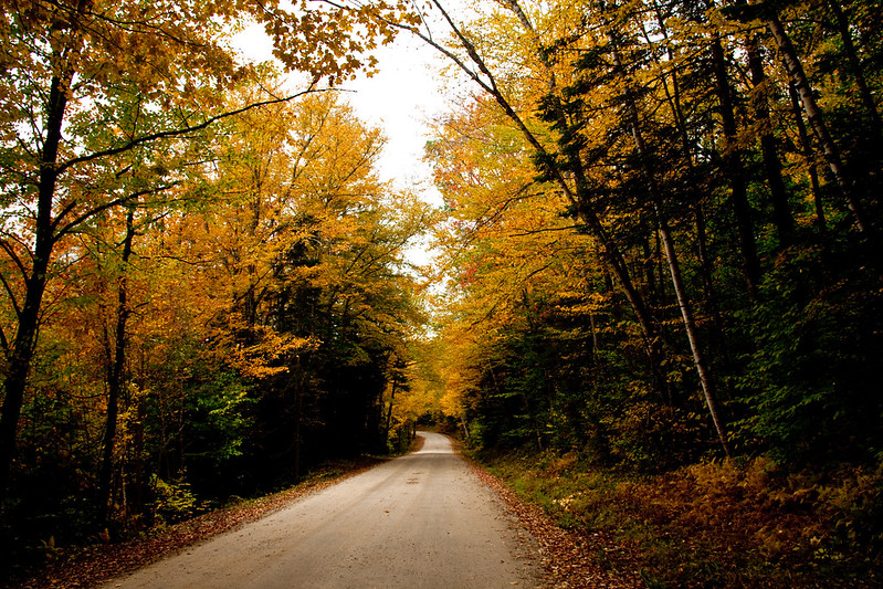
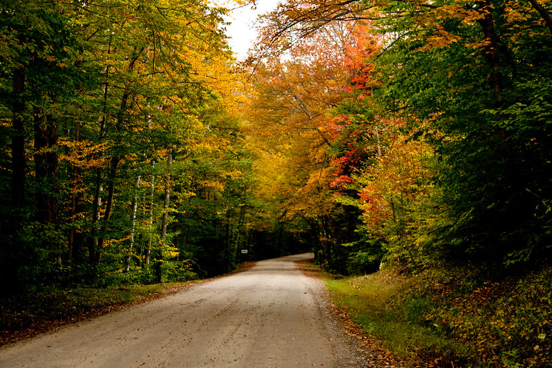
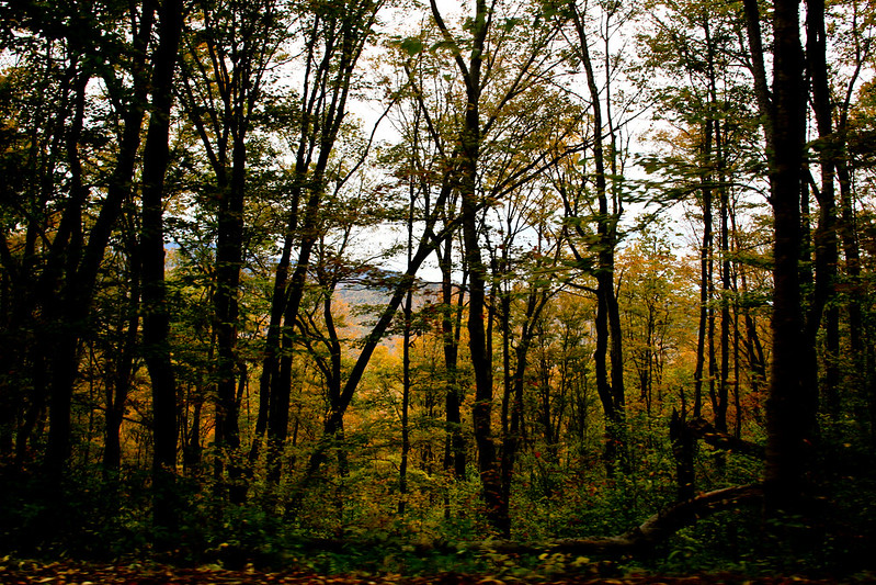
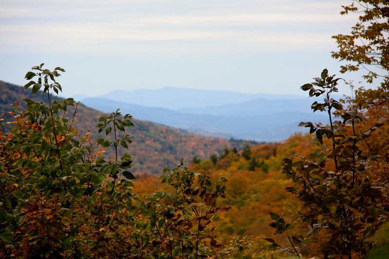
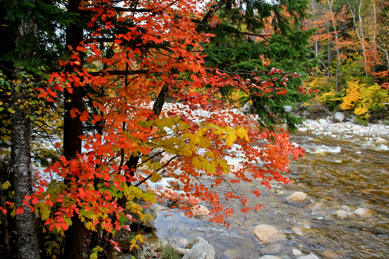
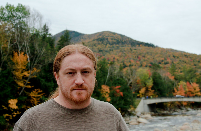
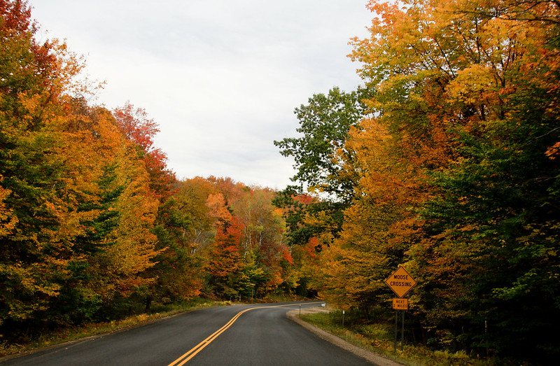
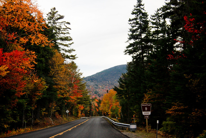
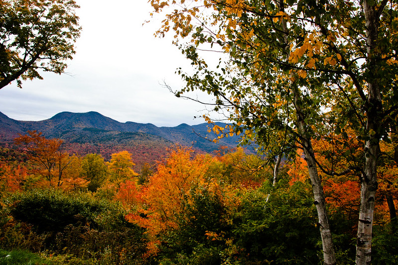
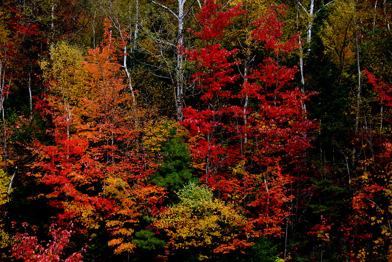
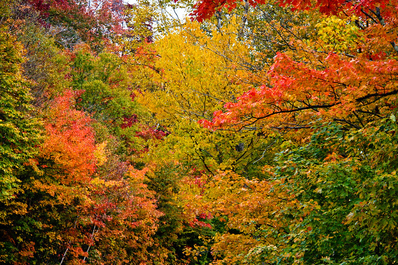
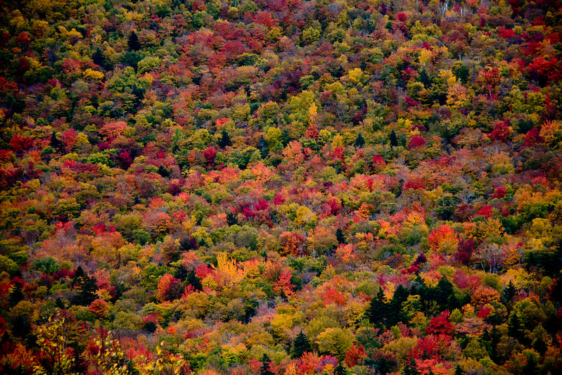
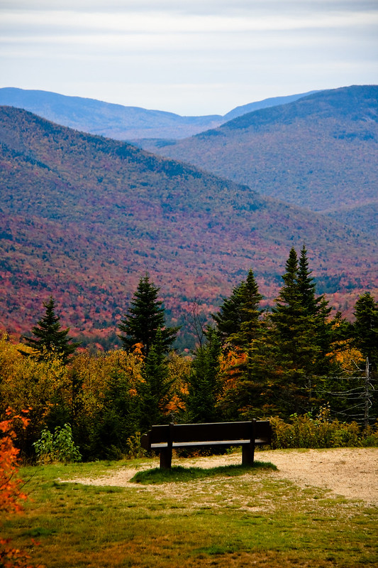
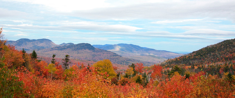
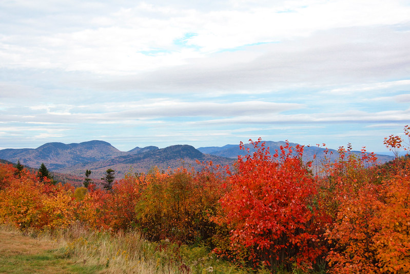
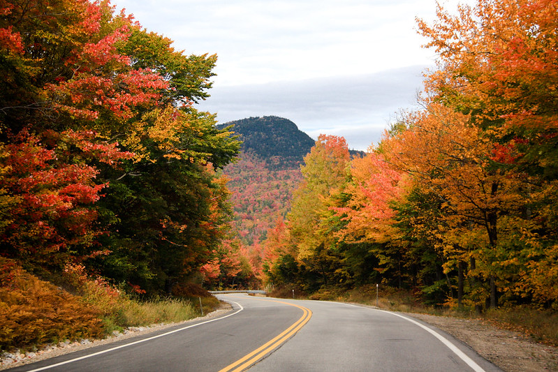
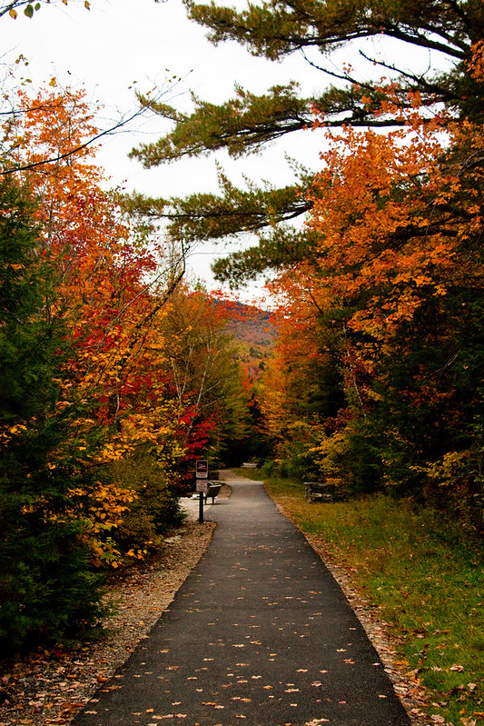
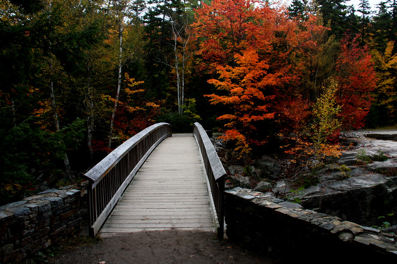
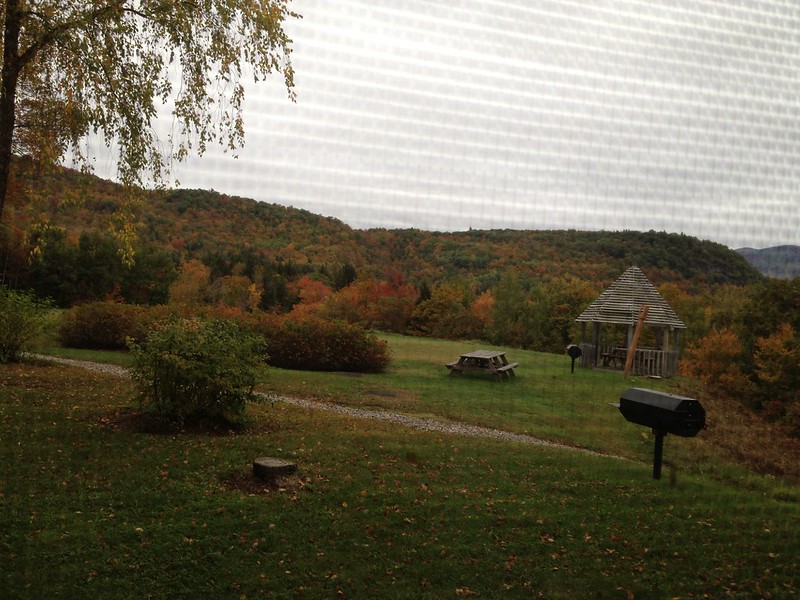
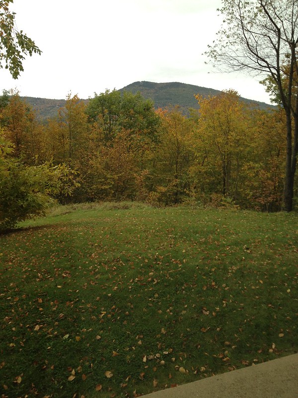
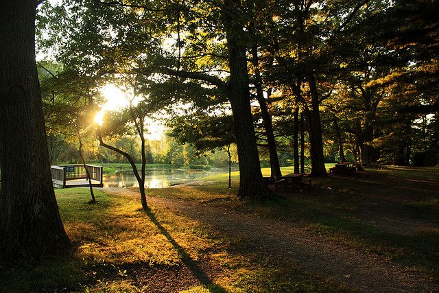
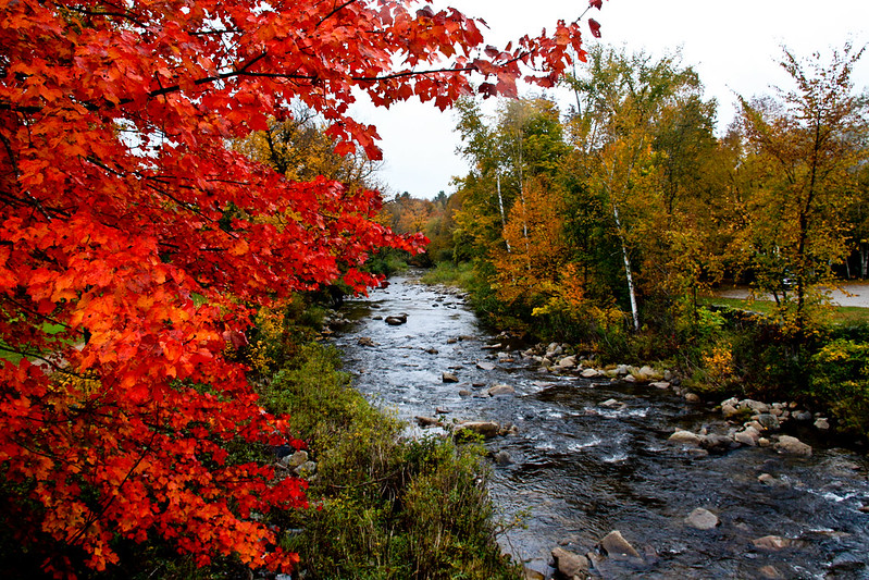
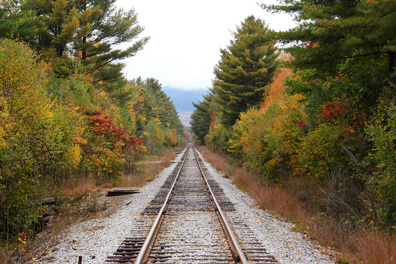
It's such a gorgeous place! We drove around looking for Pumpkin People and I took as many photos of the scenery as I could.

IMG_0025

IMG_0056


IMG_0072

IMG_0078

IMG_0080


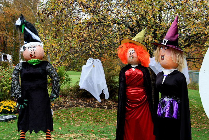
Eagle Mountain House had Hocus Pocus witches

Hocus Pocus Witches at Eagle Mountain House

They also had this pretty decorated area.

IMG_0097

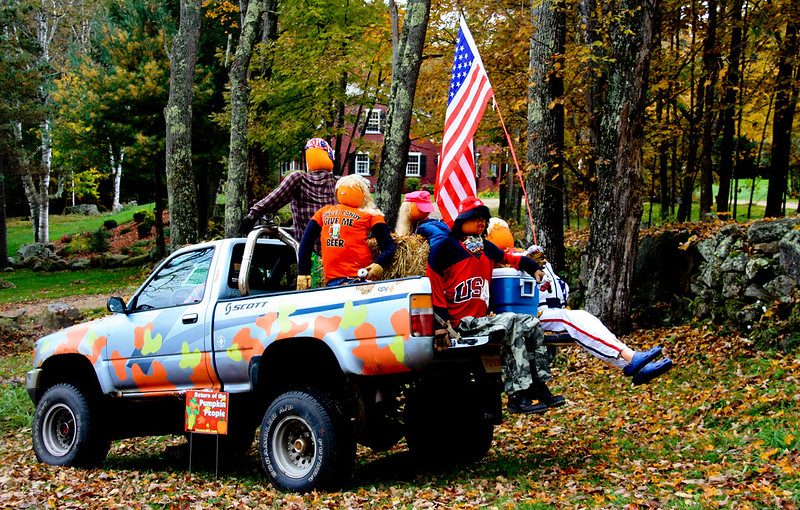
Carter Notch Inn had Redneck Pumpkin People, in a camouflage truck, drinking beers!

Redneck Pumpkin People Carter Notch Inn

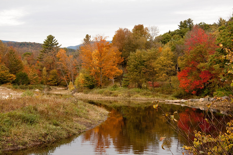
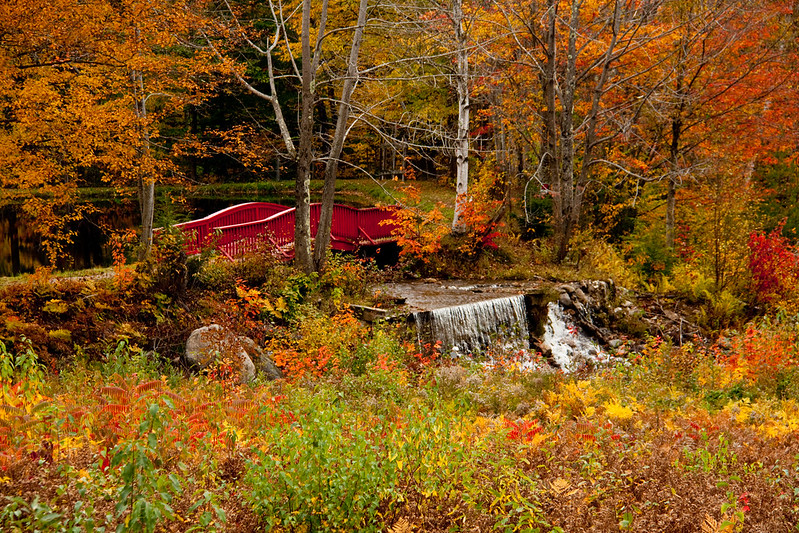
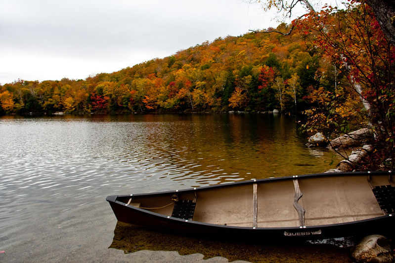
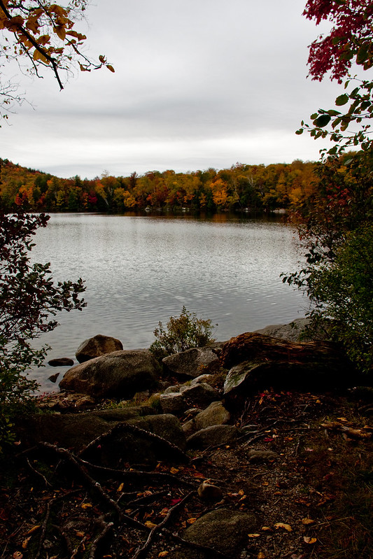
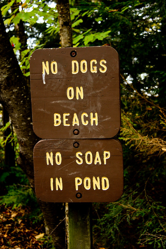
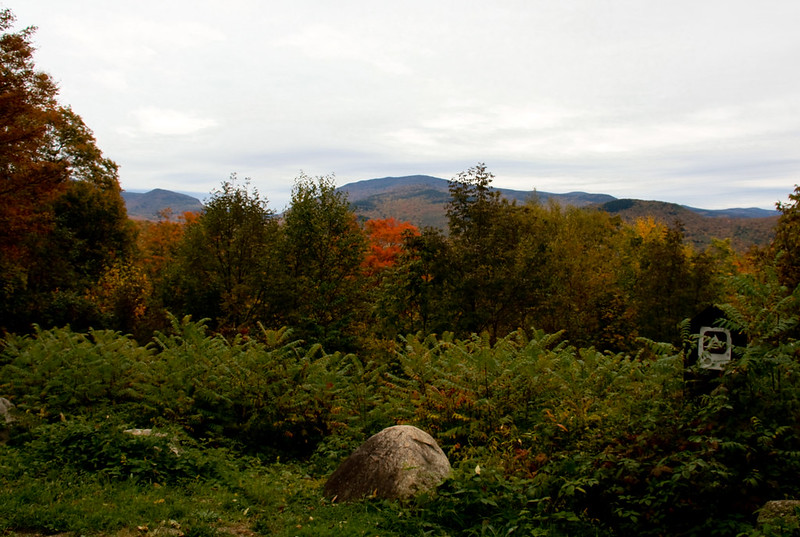
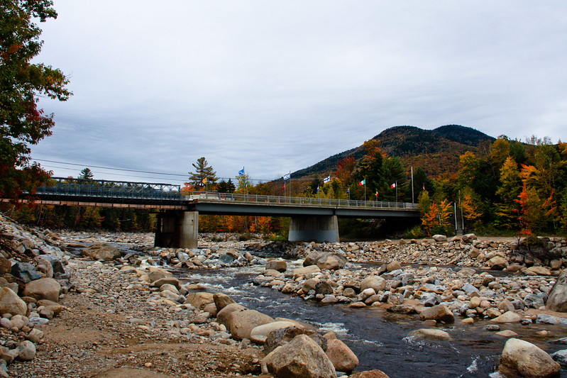
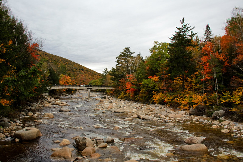
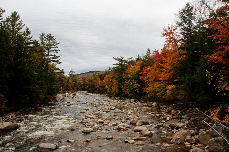
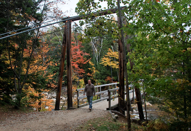
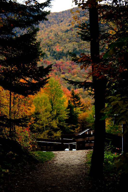
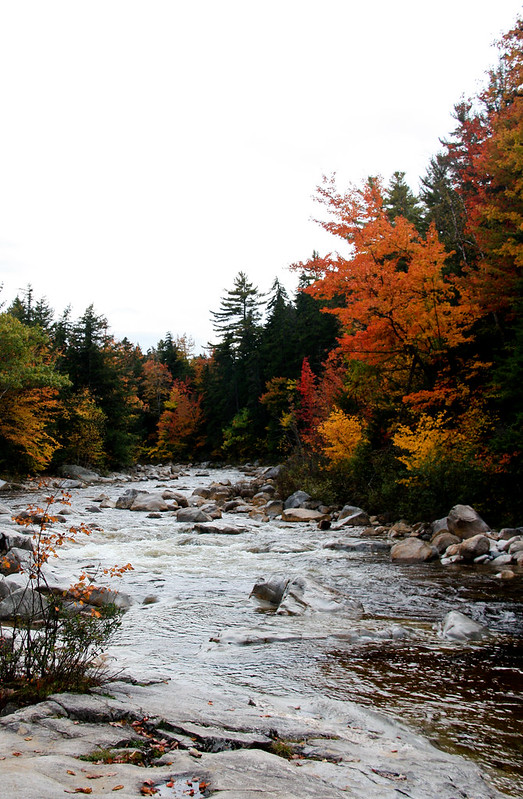
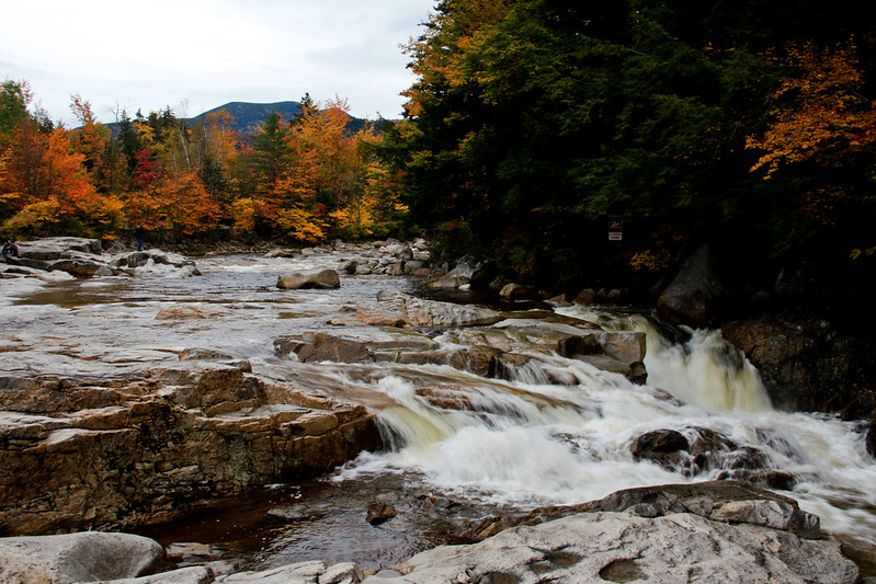
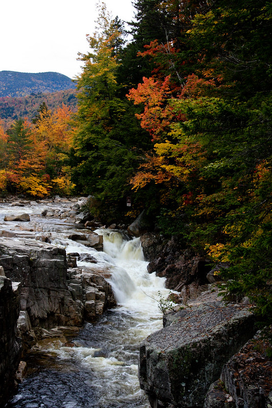
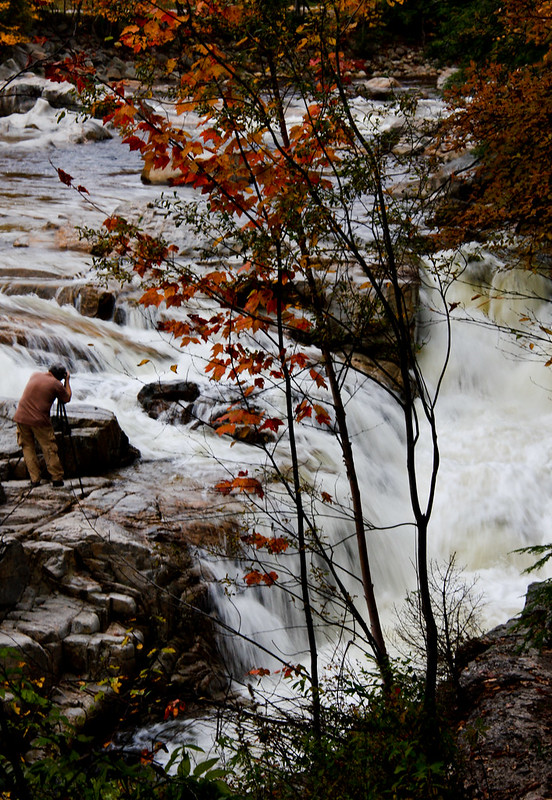
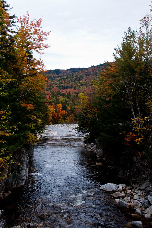
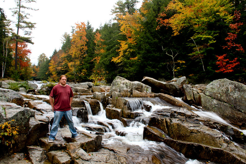
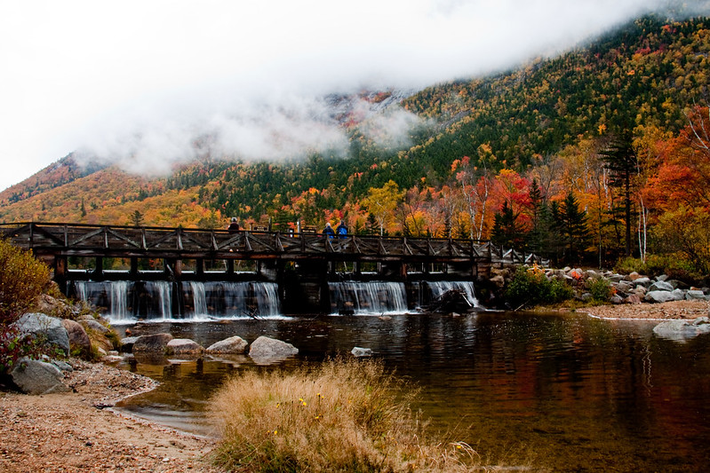
We stopped at Jackson Falls. The Falls are on Carter Notch Rd. The Wildcat River runs down the steep hill and there is plenty of spots to hang out along the falls.

Jackson Falls, Jackson NH

IMG_0121


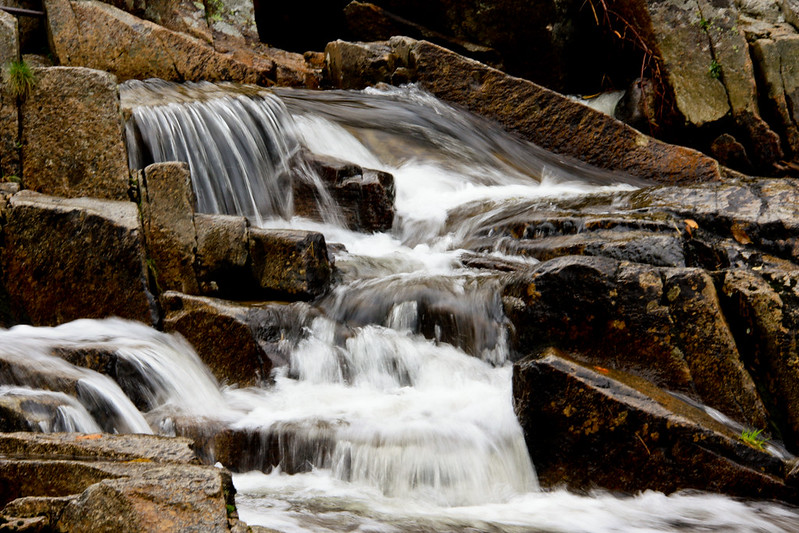
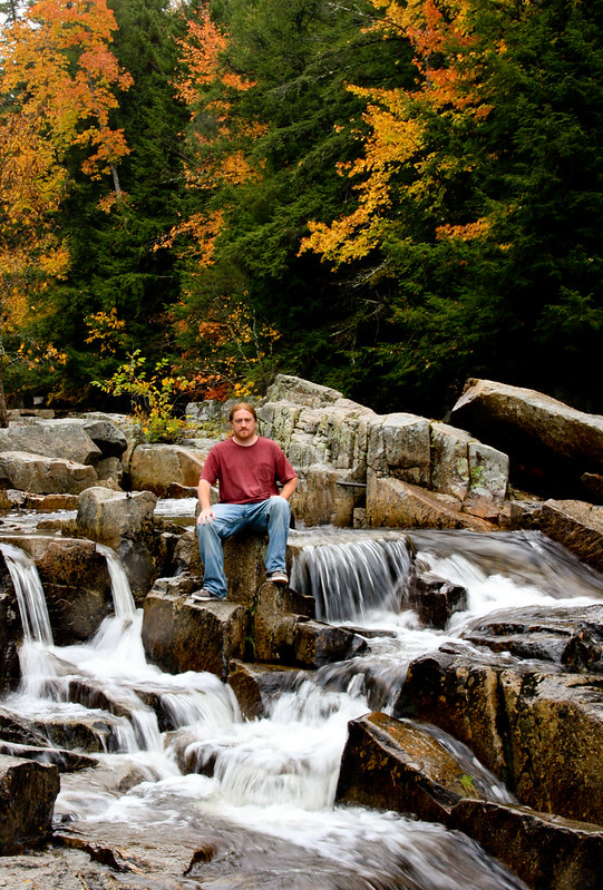
This photo was taken at the end of the hill, off the bridge looking downstream.


The Wentworth had Leprechauns hanging around out front.

The Wentworth Pumpkin People

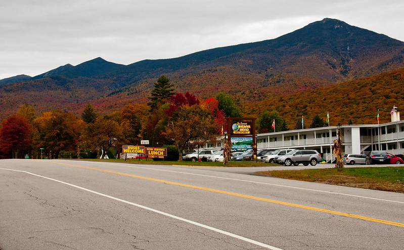
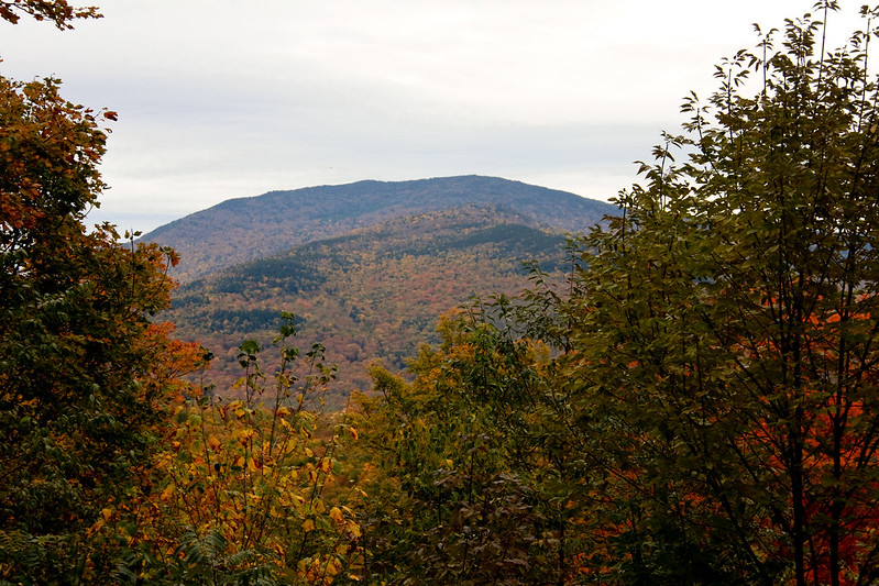
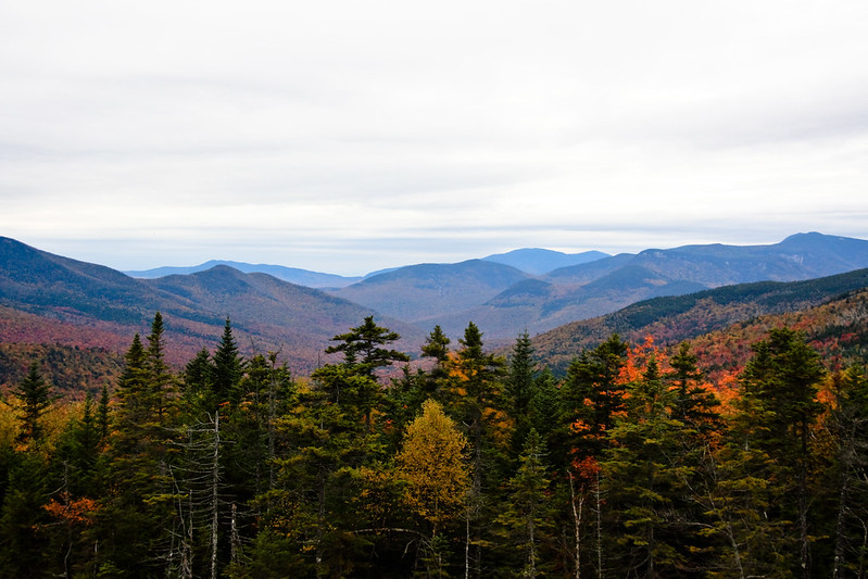
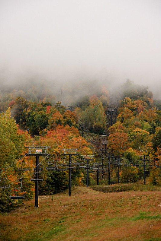
Our next destination was up Pinkham Notch to Wildcat Mountain and to the Mount Washington Auto Road. We wanted to see foliage and these locations were on the Pumpkin People list. It was about a fifteen minute drive to get to Wildcat Mountain and this is what we saw when we got there...

IMG_0188

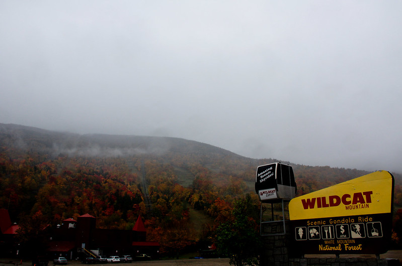
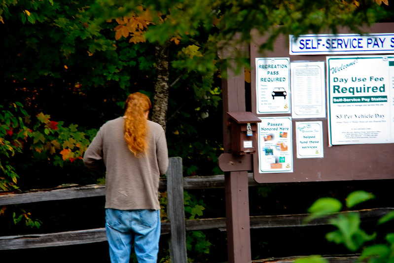
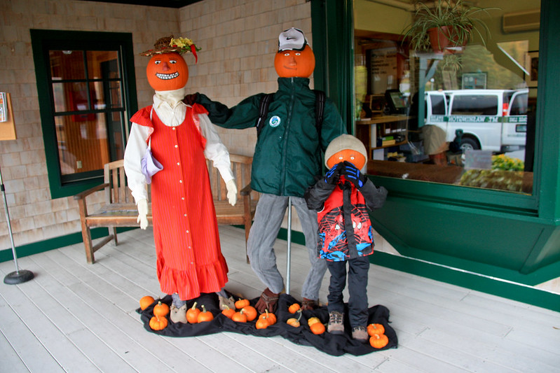
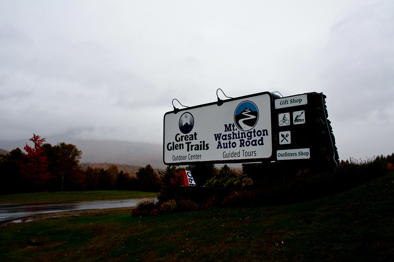
Wildcat Mountain seemed closed and we couldn't find any Pumpkin People anywhere so we went up the road to the Great Glen Trails/ Mt Washington Auto Road. I think tickets to both attractions are in the same building. There are hiking and biking trails on one side and the auto road is across the highway.

They had a pumpkin people display!

Mt Washington Auto Road- Pumpkin People


Mt Washington Auto Road- Pumpkin People looking at the old man in the mountain

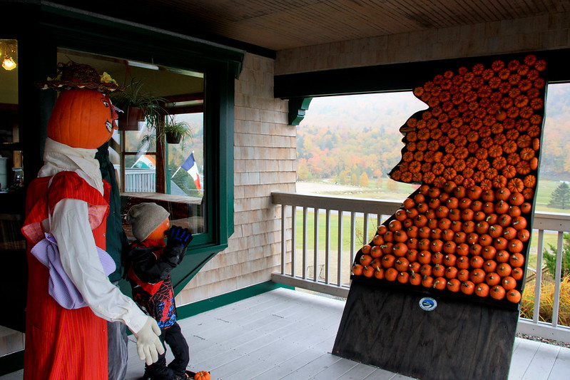
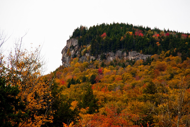
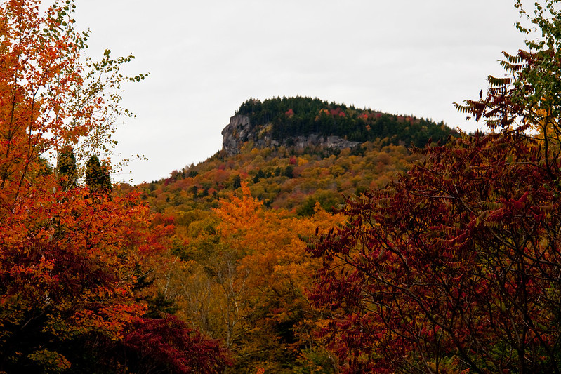
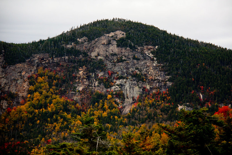
Ya see what they did there? That pumpkin family is looking at the Old Man in the Mountain... made of pumpkins. Genius!

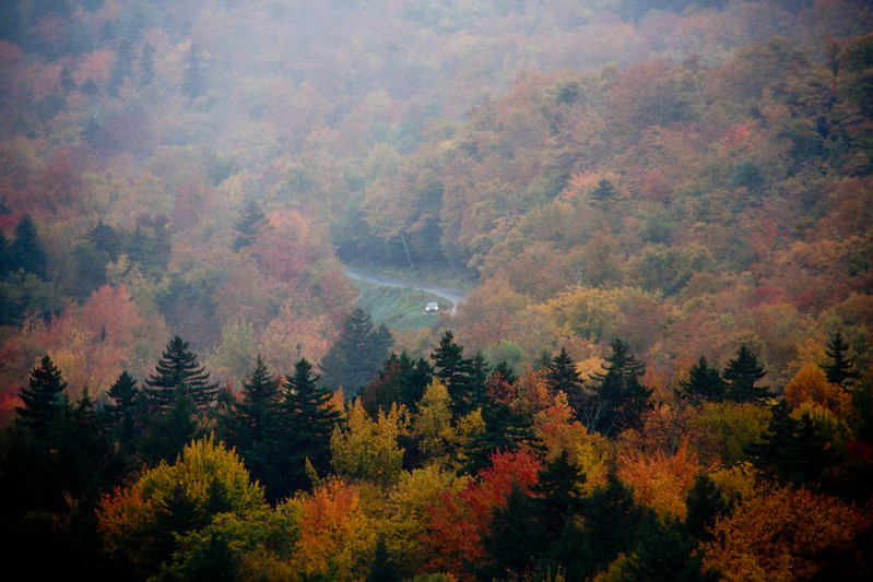
We could not see Mt Washington

IMG_0204

There's a car coming down the auto road. I don't know what kind of views there were in the fog?

IMG_0200

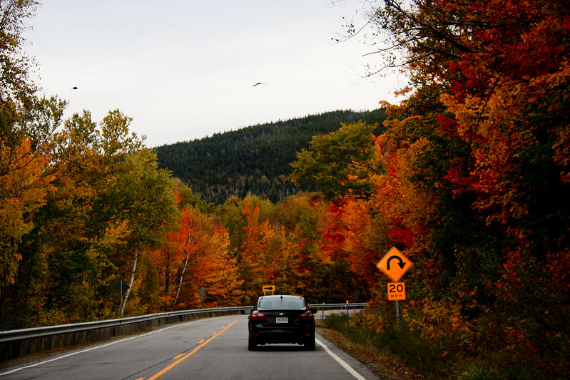
We headed south down Rt 16, back towards Jackson.

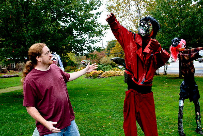
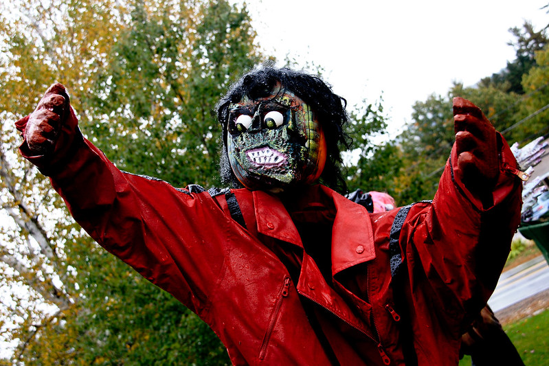
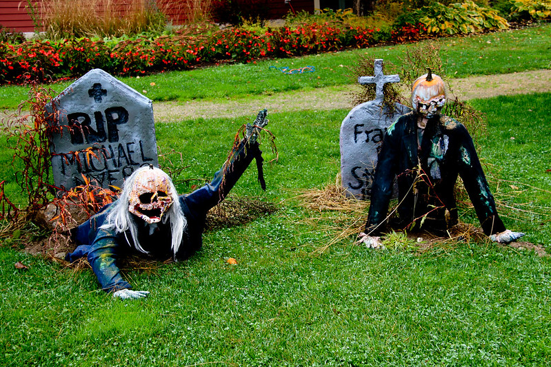
The Red fox Bar & Grille had this Thriller themed Pumpkin People display. It was great!

IMG_0226

IMG_0229

Michael Jackson Thriller Zombie Pumpkin Person

Thriller Zombie Pumpkin people coming out of the cemetery ground

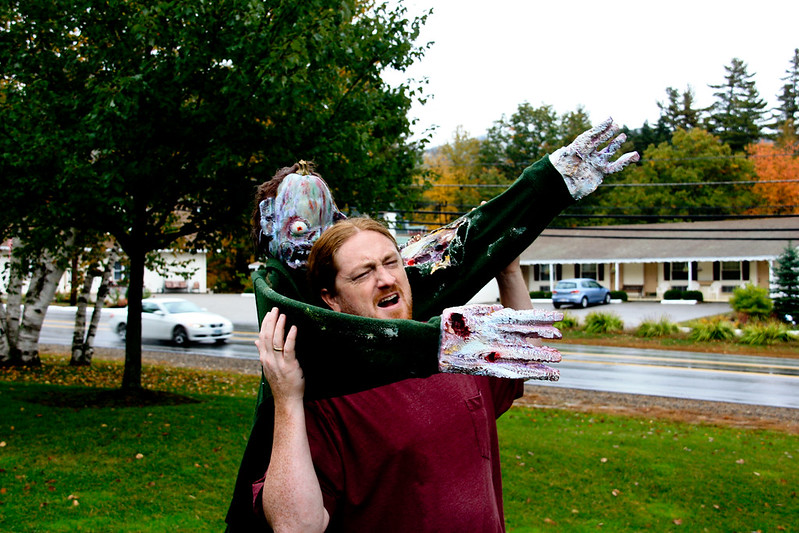
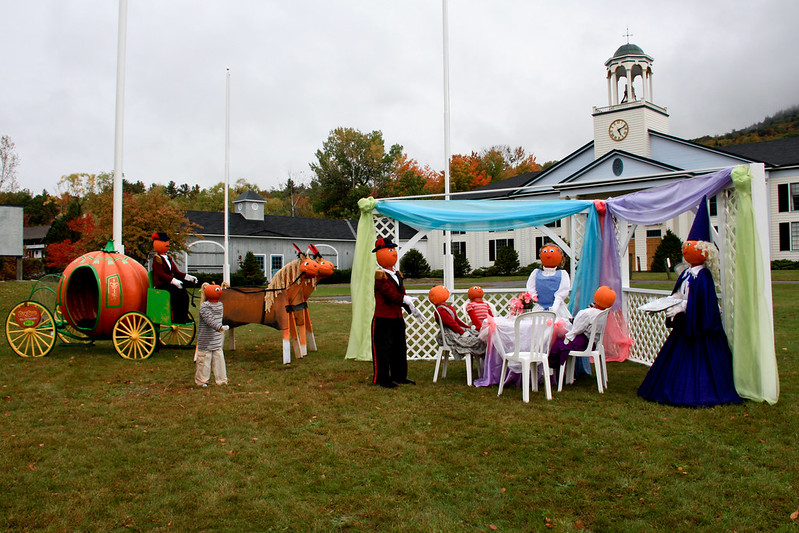
After we got away from the Zombies, we got back in the van and our next stop was at Story Land. Their display was pretty cool too!!

Cinderella Pumpkin People Display

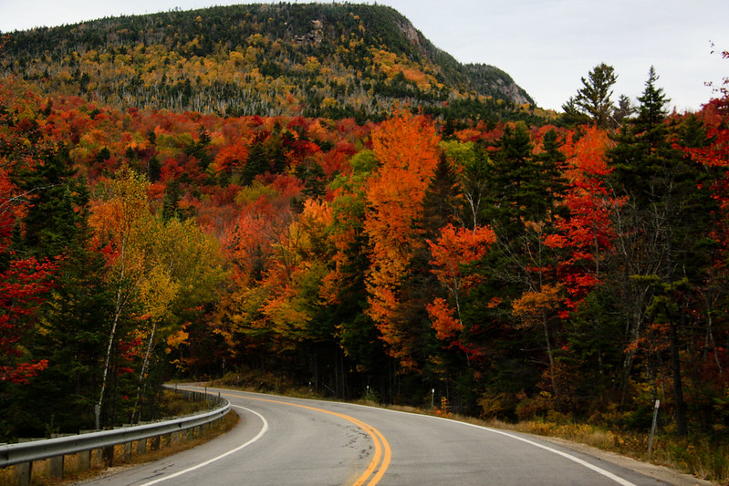
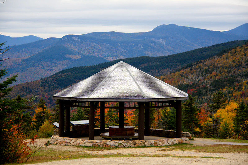
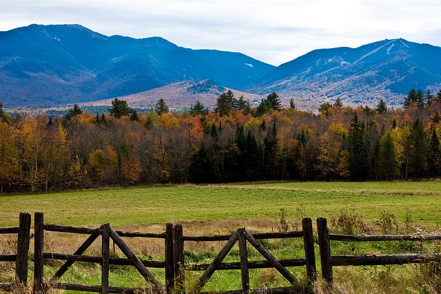
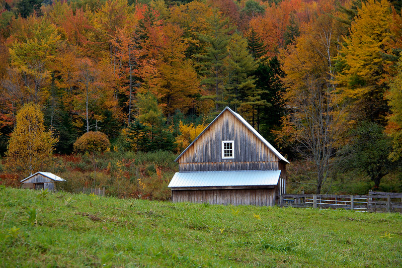
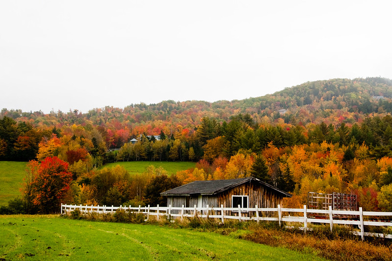
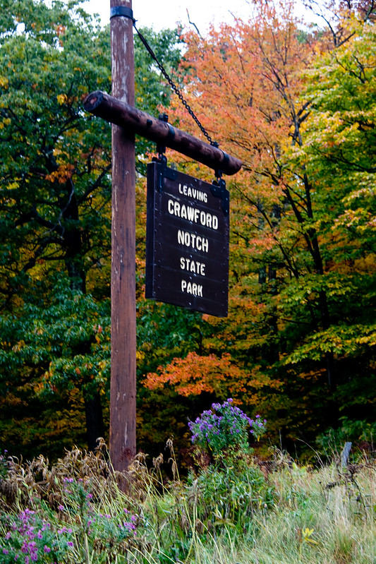
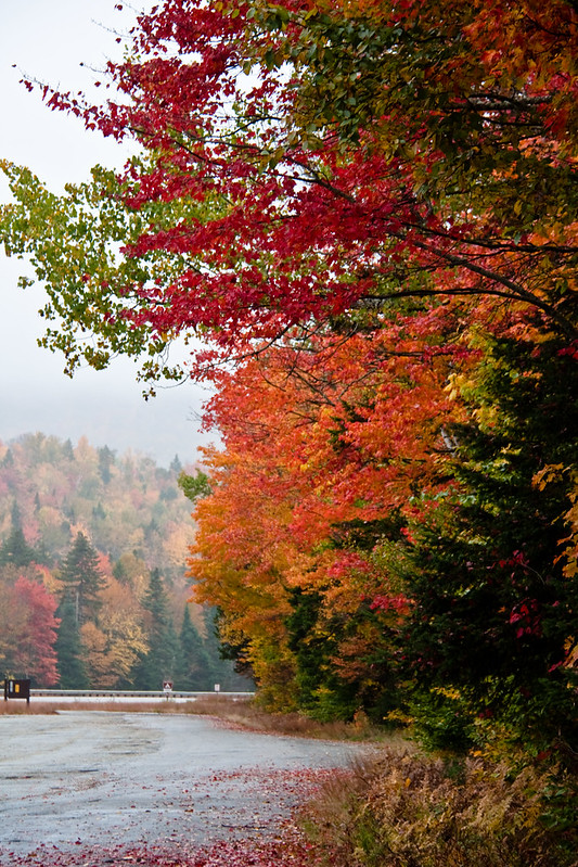
We drove next to route 302 up towards Crawford Notch.

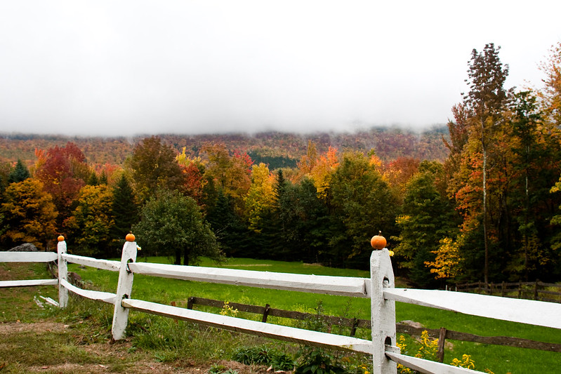
It wasn't as foggy over by Attitash 

IMG_0281

Attitash Pumpkin People

IMG_0272


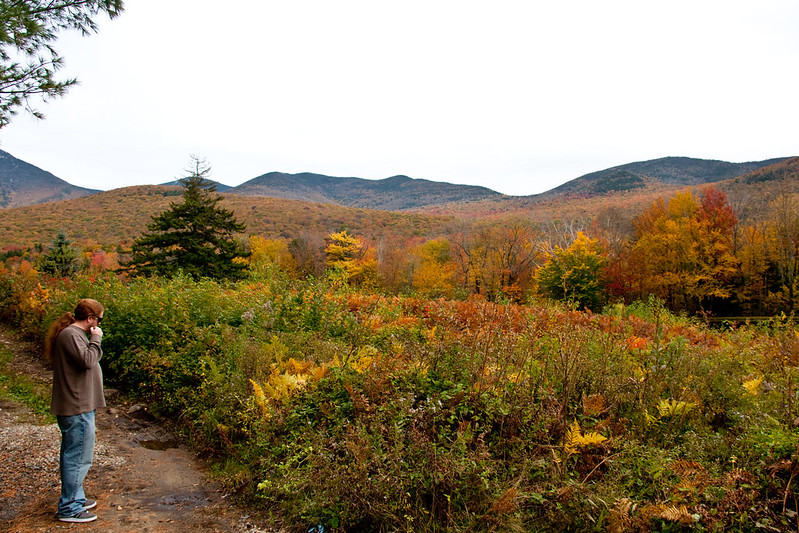
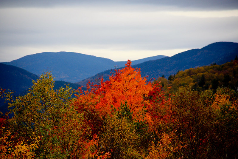
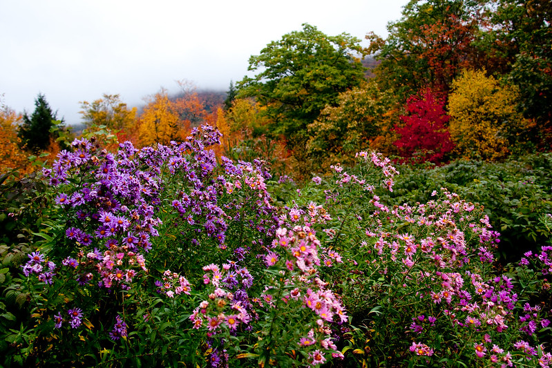
We stopped on 302 at scenic spot where you can view Mt Washington in the distance.. Not this day you couldn't! We did see some pretty wildflowers though.

IMG_0312

IMG_0309

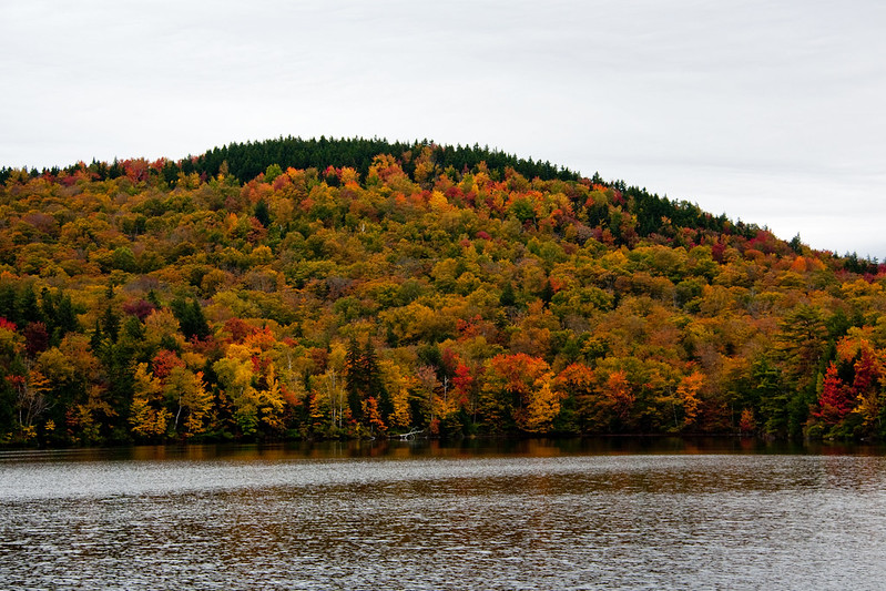
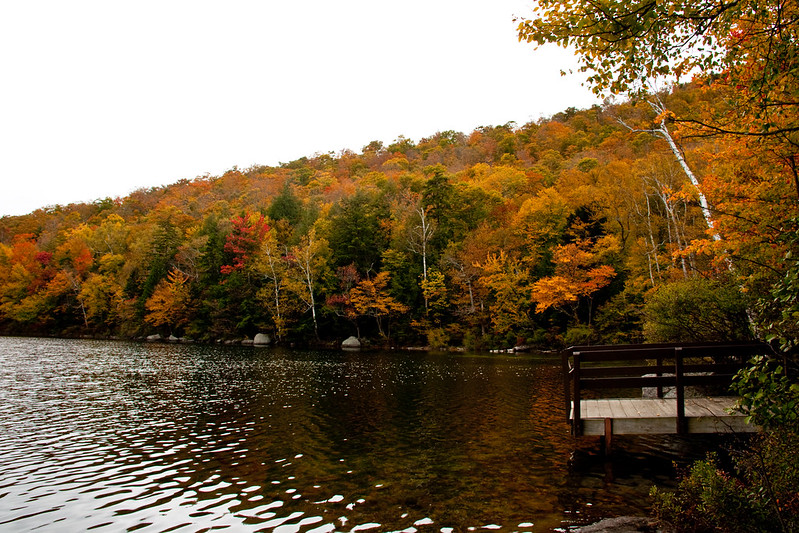
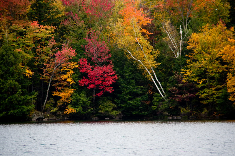
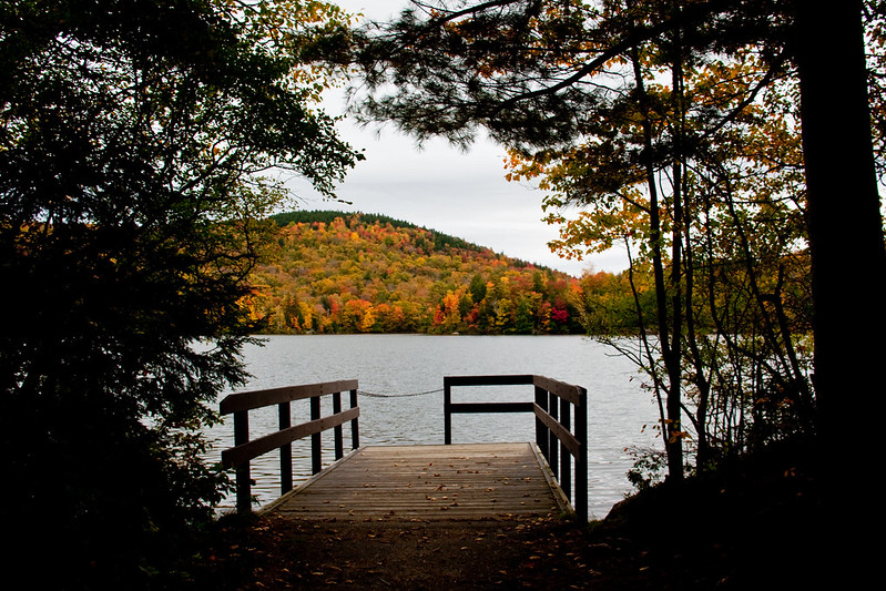
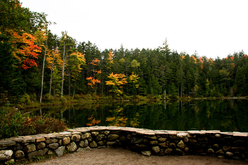
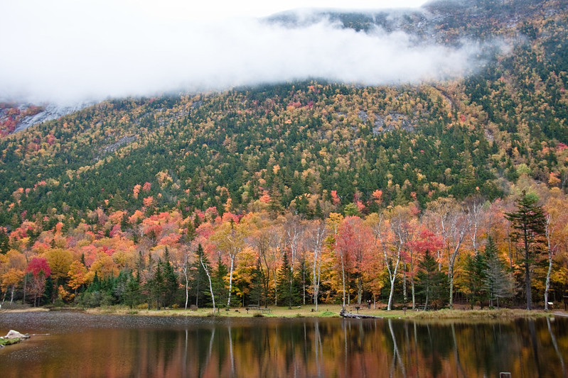
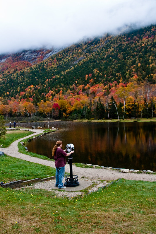
We stopped at Willey Pond.. I love that place so we always stop there.
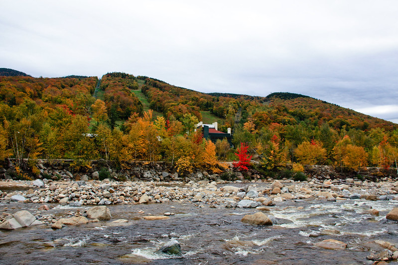
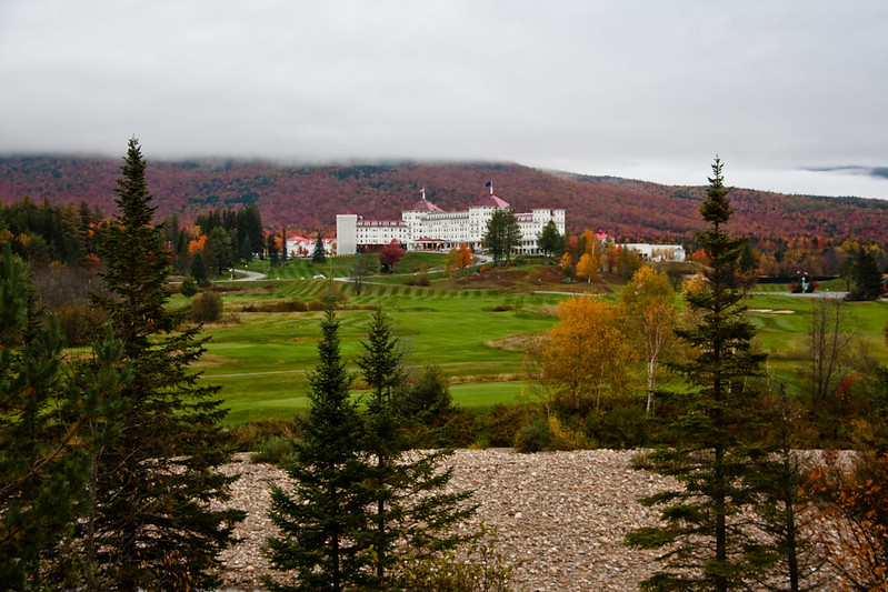
IMG_0339

IMG_0329

IMG_0326

It was beautiful . As usual.

IMG_0396


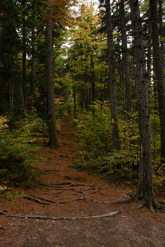
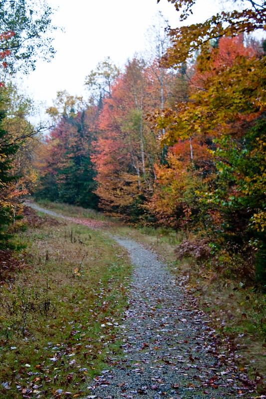
I don't know where our next stop was, I know it was further north up 302. I read there was a waterfall and swimming hole past Bretton Woods. I don't remember it's name now but we found it, parked and went for a walk in the woods.

IMG_0407

We were walking for a few minutes and I realized I was really creeped out! It was very pretty but it was starting to get dark. I was very nervous we would encounter a black bear or a moose! After a few minutes of walking and not seeing a waterfall, we turned around and walked back to the van. 

IMG_0411


We started our trip home. We stopped at several places along the way home, mostly in North Conway. We got all the Pumpkin People crossed off the list that year. All but a few places that didn't have their displays up for whatever reason. We drove home in the dark feeling like we had accomplished something. That was the first and last time we managed to cross them all of the list.

If you are interested, I have a whole set of Pumpkin People photos from over the years Here.

I also have hundreds of fall foliage photos from 2008-2012 Here.

I hope you enjoyed these photos from our 2012 trip. I can't wait to go again this year, Hopefully I wont wait 2 years to edit this years photos!


©RachelC.Photography and ©rachelcphotoblog.blogspot.com, ♥A memory is a photograph taken by the heart, 2014. Unauthorized use and/or duplication of this material without express and written permission from this blog’s author and/or owner is strictly prohibited. Excerpts and links may be used, provided that full and clear credit is given to ©RachelC.Photography and  ©rachelcphotoblog.blogspot.com, ♥A memory is a photograph taken by the heart, with appropriate and specific direction to the original content.
 

Fall Foliage Weekend 2012- Day #1

I recently found hundreds of unedited photos from a trip we took in 2012. For the past seven years, my husband and I have gone up to New Hampshire to see the foliage in the beginning of October. We used to go up and back in a day but we soon realized that was too much time spent driving. Its about 300 miles round trip from where we live, to the White Mountains and back.

We started to stay over night a few years ago. In 2012 we went during the work week because it is cheaper and on weekends there are usually 2 night minimums.

We left on October 2nd and headed up Interstate 93 in Massachusetts headed for Franconia Notch.

IMG_9527

We were looking for Tripoli Road. I'm not sure why but I must have read about it somewhere. Our GPS  was taking us all over the place. We went by this pretty river that was in Woodstock.

IMG_9544

Next we found ourselves near Indian Head Resort. We parked and walked around because the area was really pretty.

IMG_9560

Indian Head Rock Profile

Teepee and totum Pole at Indian Head Resort

IMG_9571

IMG_9575

IMG_9581

IMG_9583

We got back in the car and I decided to try the GPS on my Iphone. We were way off! It sent us back to where we had been before, back to Woodstock where we finally found Tripoli Rd. My Iphone said we were in Livermore NH while we were on Tripoli Road. We had no idea at the time, but that is a ghost town. The only bits left of Livermore are foundations in the woods. I assume Tripoli Rd runs through the old town? I am just guessing about that though.

IMG_9585

IMG_9591

Tripoli road is closed in winter.  The entire road was not paved. It was awful, so many bumps and nowhere to turn around! I seem to remember driving up an incline too. I remember thinking if we got a flat tire we would be screwed because I couldn't imagine a tow truck rescuing us! That's IF there was even any cell service to call them.


We turned into what I believe was a camping area and there was a sign that said "Russell Pond"
IMG_9599

IMG_9602

The area was very pretty. It was very quiet and secluded.

IMG_9612

We met a friendly local resident

IMG_9618

IMG_9623

IMG_9624

IMG_9627

They had this sign hanging up. Maybe the nearby campgrounds are like those manly, camps that don't have bathrooms and running water? Otherwise what would possess someone to get in the pond with a bar of soap and wash themselves? That's pretty gross! You know it must have happened enough if they had to hang up a sign!

IMG_9638

We spent a while there exploring the beach and paths and we headed out. There were scenic views that we pulled over for.

IMG_9639

IMG_9640

IMG_9645

IMG_9646

It was a really pretty area but if you go, make sure your car is up for the bumpy roads. Our minivan wasn't handling it so well. I read that this fall (2014) that they are paving the road. I don't know if that means the entire road or just a portion of it.

We pulled over again in Lincoln on route 112 (where the Kancamagus highway begins), I am pretty sure the pull off was across from Loon Mountain. There was a small bridge that took you across to the ski area. It crosses the Pemigewasset River (or "The Pemi").

IMG_9661

IMG_9659

We headed East on The Kancamagus highway towards Conway. The Kancamagus is a scenic byway that is about 35 miles long. It cuts through the mountains and the road through the forest twists and turns in some areas. There are many campgrounds and scenic pull offs but no stores, gas stations or businesses along the highway.

IMG_9700


 Lincoln Woods were close by. They have a large parking lot and there is a suspension bridge over the Pemi River. There are many trails you can hike on but we never have strayed very far from the bridge. A day pass is $3 at the self service pay station and you can use it at all the stops along the Kancamagus highway for the day.

IMG_9702

IMG_9704

Views from the suspension bridge. Its a little creepy walking across the bridge. You can feel it slightly moving.

IMG_9705

IMG_9706

IMG_9716

IMG_9720

IMG_9721


IMG_9737

After a while we got back on the road and headed East again.

IMG_9739


IMG_9760

IMG_9768


IMG_9775

IMG_9778

We stopped at several scenic rest areas. Some had large parking lots and some had only room for a few cars on the side of the road.

IMG_9788


IMG_9792

IMG_9808

IMG_9812

IMG_9815

IMG_9838

IMG_9839

IMG_9842

IMG_9843

IMG_9846


IMG_9861

IMG_9863

IMG_9874

Our last stop on the Kancamagus highway was the Rocky Gorge scenic area and waterfall. You pay a small fee to park ( we used our pass from earlier in the day). From the parking lot there is a paved path along the swift river. There is a lot of rocks next to the gorge that you always see some people standing on but I prefer to view the gorge from the foot bridge that was built across the river.

IMG_9959

Here is a view upstream of the Swift River.
IMG_9892
 
IMG_9916

The view of the gorge from the foot bridge.

IMG_9948

IMG_9921

The view looking downstream.

IMG_9957

IMG_9943

After you cross the bridge you can walk along a path in the woods that brings you to Falls Pond.

IMG_9938

IMG_9931


When we finally got back to the van in the parking lot it was after 5:30 and we were already losing light. We headed east once more and drove through North Conway up Rt 16 to check in to our overnight accommodations. We stayed at the Nordic Village Resort in Jackson New Hampshire. Nordic Village is pretty much a resort made up of townhouses. It's really nice there. We have stayed 4 times so far. Each unit is very similar. They are pretty big and every suite we ever stayed in has had a fireplace, jacuzzi tub and a small kitchen area with a sink, coffee maker and microwave.

Here is the view from our suite .Taken from my cell phone in the fog.

view from the back of our hotel suite

view from the back of our suite

Read about Day #2 of our trip! Click Here

©RachelC.Photography and ©rachelcphotoblog.blogspot.com, ♥A memory is a photograph taken by the heart, 2014. Unauthorized use and/or duplication of this material without express and written permission from this blog’s author and/or owner is strictly prohibited. Excerpts and links may be used, provided that full and clear credit is given to ©RachelC.Photography and  ©rachelcphotoblog.blogspot.com, ♥A memory is a photograph taken by the heart, with appropriate and specific direction to the original content.
Blog Designed by The Single Momoirs